Drone Services

Hospitality & Tourism

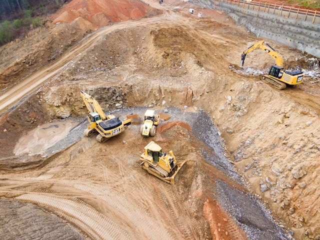
Construction

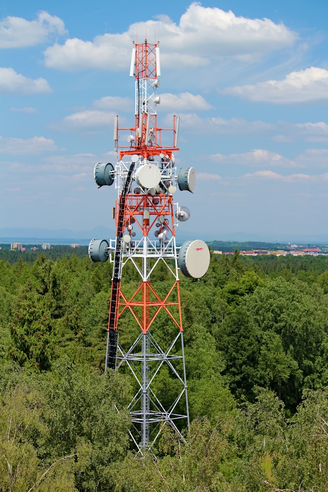
Utilities

Aerial solutions for every industry

Property Management

Real Estate

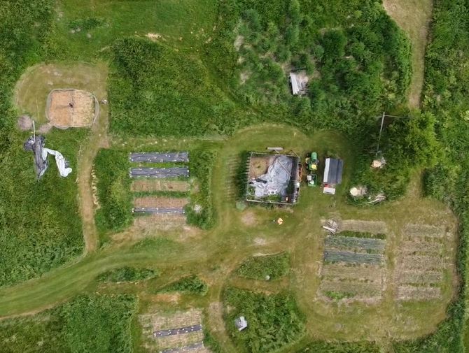
Agriculture
Drone Inspections in Michigan
Promote safety, compliance, and efficiency
Drone inspections have emerged as game-changing technology across the construction & utility sectors, revolutionizing the way businesses conduct inspections, surveys, and assessments. Our drones are equipped with advanced sensors and imaging technology that allow you to see crisp details in hard to reach places.
Here’s how Terraerial satisfies the aerial needs for clients across Michigan:

Construction Site Surveys
- Track Site Progress in Real-Time
- Aerial Roofing Inspections
- Structure Inspections
- Surveying & Mapping
- Quarry & Mining Site Inspections

Critical Infrastructure
- Bridges, Dams, Tunnels & More
- Building Inspections
- Identify structure defects & corrosion
- Helping companies & agencies remain compliant

Environmental Monitoring
- Wildlife Habitat Assessments
- Crop Health Monitoring
- Environmental Impact Assessments
- Water Resource Management
- Forestry Assessments

Towers & Utilities
- Radio & Cell Towers
- Wind Turbine Inspections
- Traditional inspection methods take hours or days. Drones can do it in minutes.
Aerial inspections are…
40% cheaper
than traditional methods.
30-50% faster
than relying on manpower alone.
find 20% more
critical areas during inspections.
Our drone fleet has 48 megapixel & 4k capabilities, making them top of the line for carrying out inspection jobs. Boasting a variety of filters and obstacle detection sensors, our licensed pilots are able to carry out your aerial inspection quickly and safely. We capture your project from 360 degrees to let you see it from new perspectives.
Professional Aerial Photography
Pilots with a Background in Photography
Listings that showcase professional photos sell 30% faster on average.
Adding aerial shots to your arsenal can reduce that time by 70%.
Whether you are selling a home, land, or promoting a short term rental, there is simply no excuse for sub-par photos. Aerial photos give you much more to work with, creating a sense of luxury and professionalism.


Residential Photography
- Sell your home faster with aerial photos & video
- Attract tenants for long term rentals

Commercial Real Estate
- Aerial photos & video for your business’s social media accounts
- Attract more tenants & customers
- Get updates on businesses you own that you can’t physically visit

Vacant Land
- Large plots of land can take months, sometimes longer, to sell
- Get the full picture of your property to help serious buyers
- Create maps for future development & resource allocation

Short Term Rentals
- Stand out against thousands of competing rentals
- Capture the true essence of your listing
- Create assets for your advertising
Our Michigan-based pilots have 10+ years of photography experience behind them. We have total manual control of our camera settings both on the ground and in the air. We can even add on-the-ground photos as an all-in-one photography package.
